UK #28
Sold Out
UK #28
£280.00
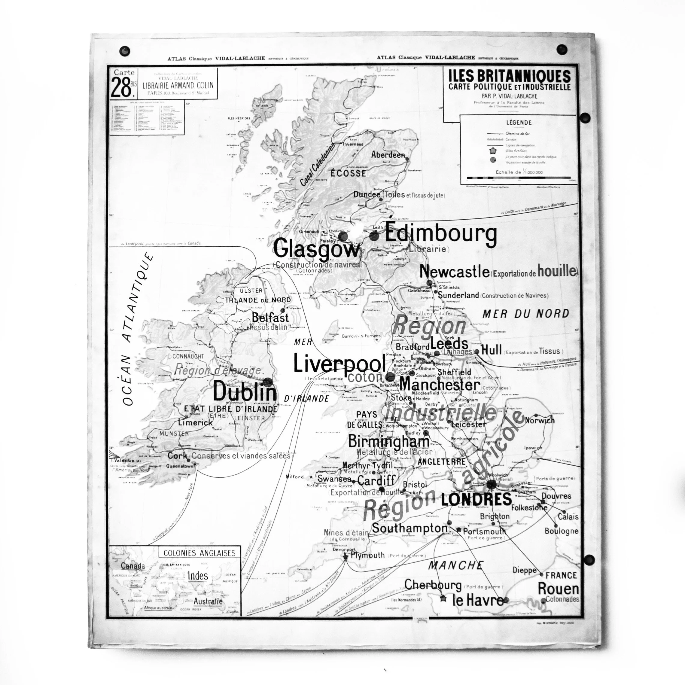
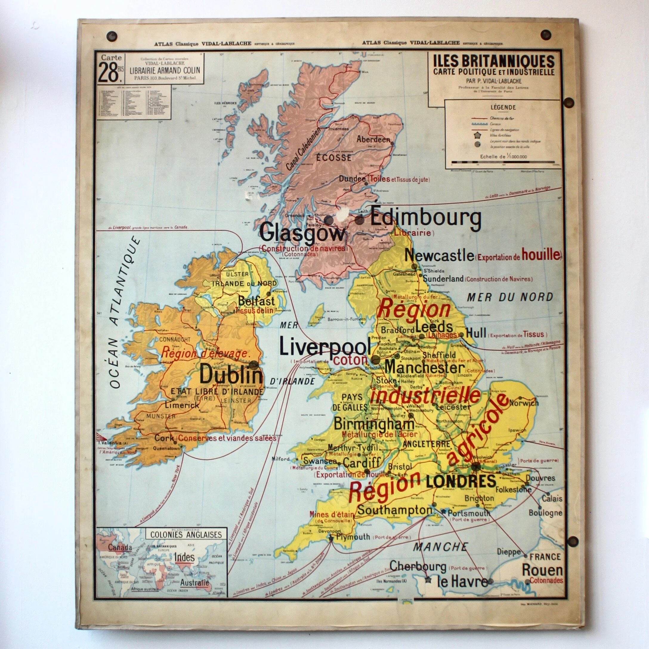
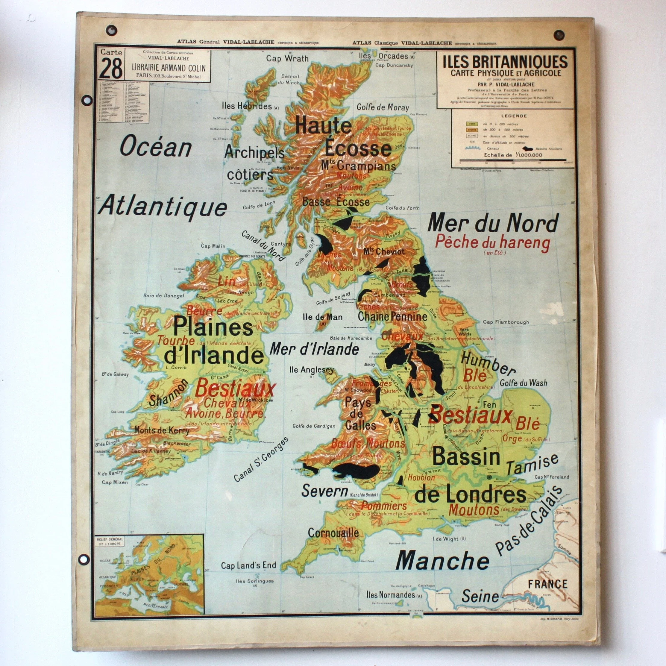
#28 - Iles Britanniques
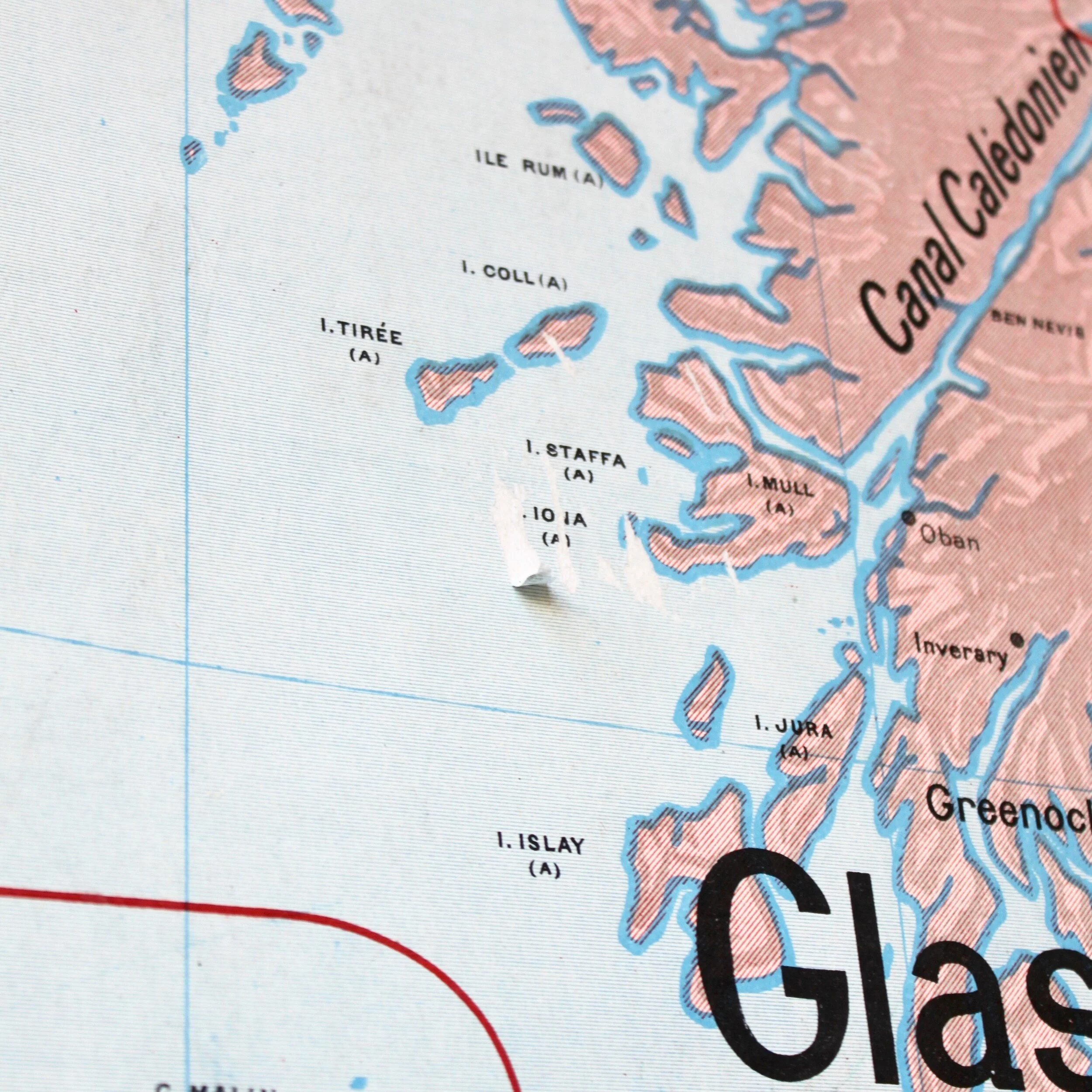
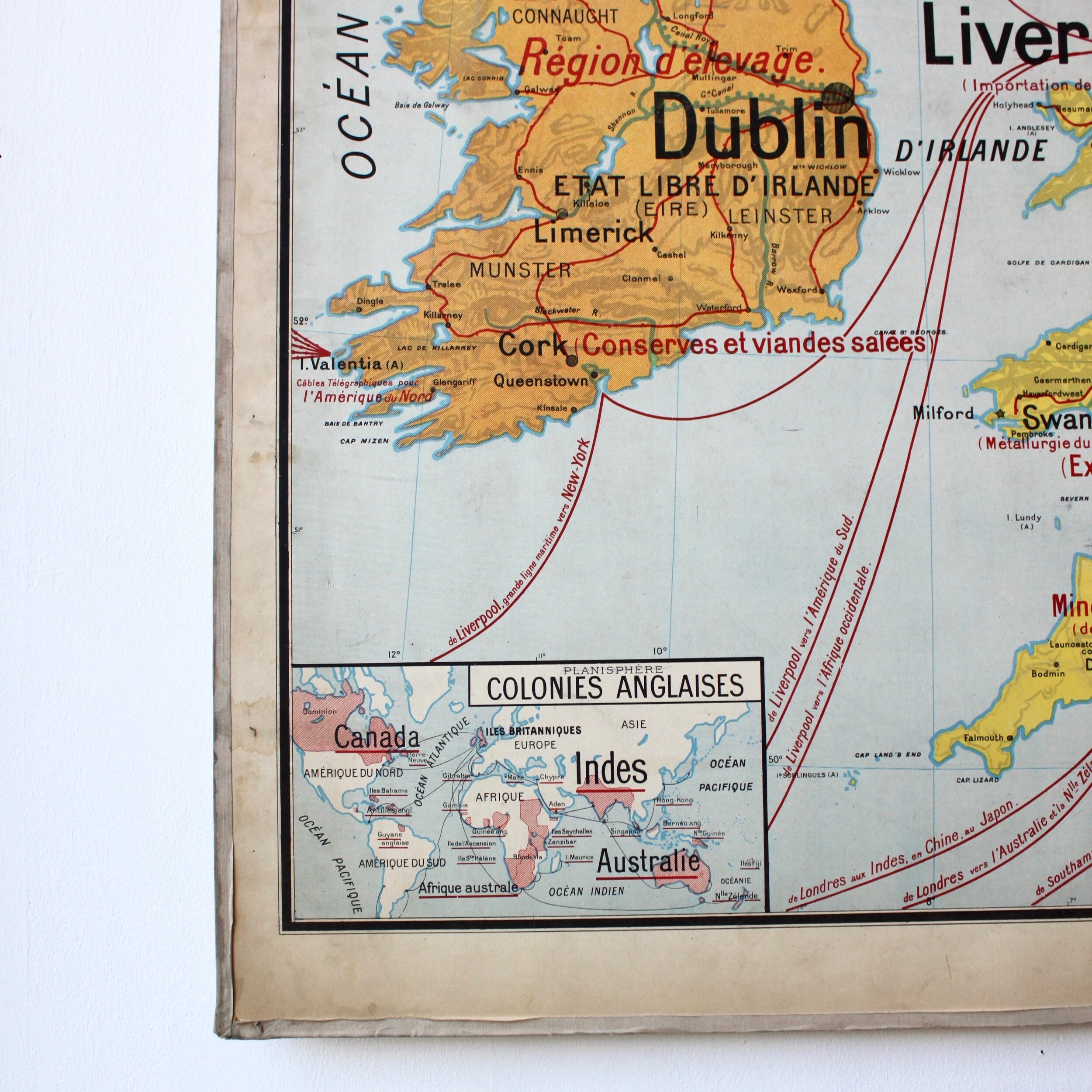
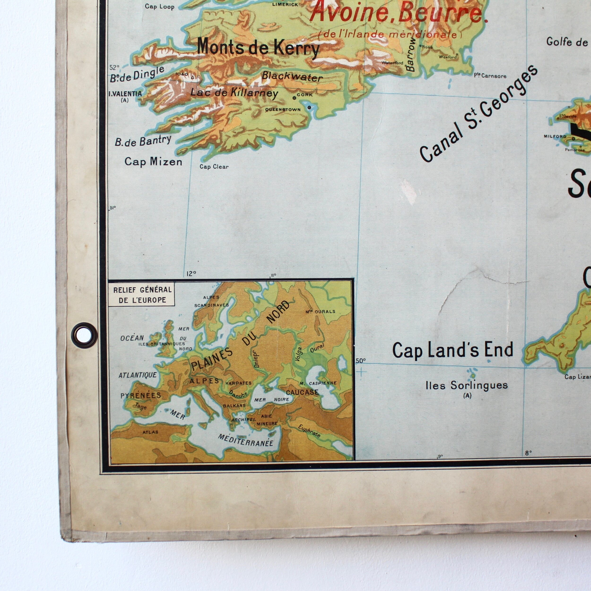
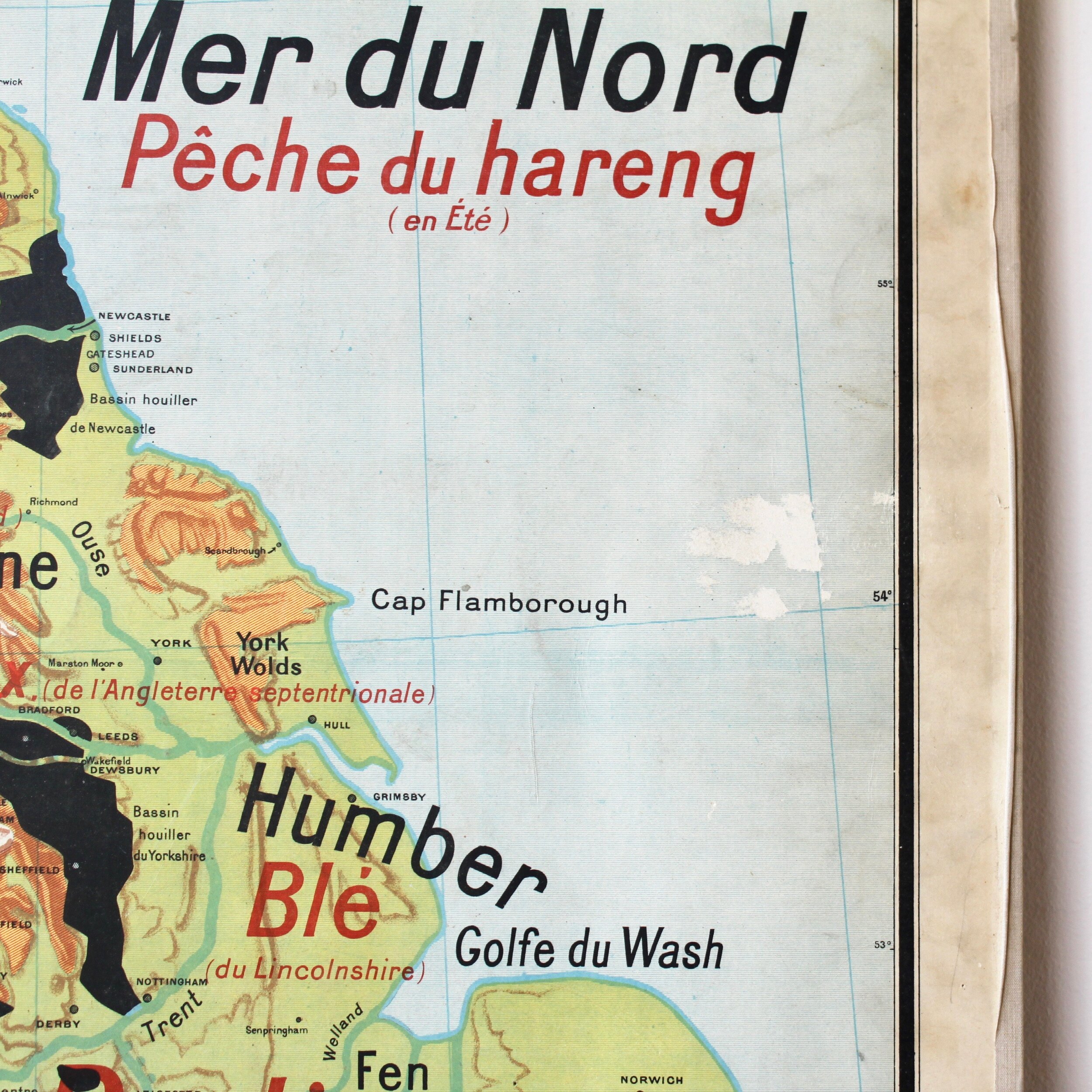
French school map with two different sides from the 50-60s.
In the 20th century, French classrooms were full of maps and other instructive supports to complete books missing of pictures.
Dimensions: H100 x W120 cm
Please note that you can purchase the map online. However, a shipping quote will have to be made depending on where it has to go.
The item being vintage, it might have small imperfections due to the wear of time, which doesn't alter its beauty neither solidity.

